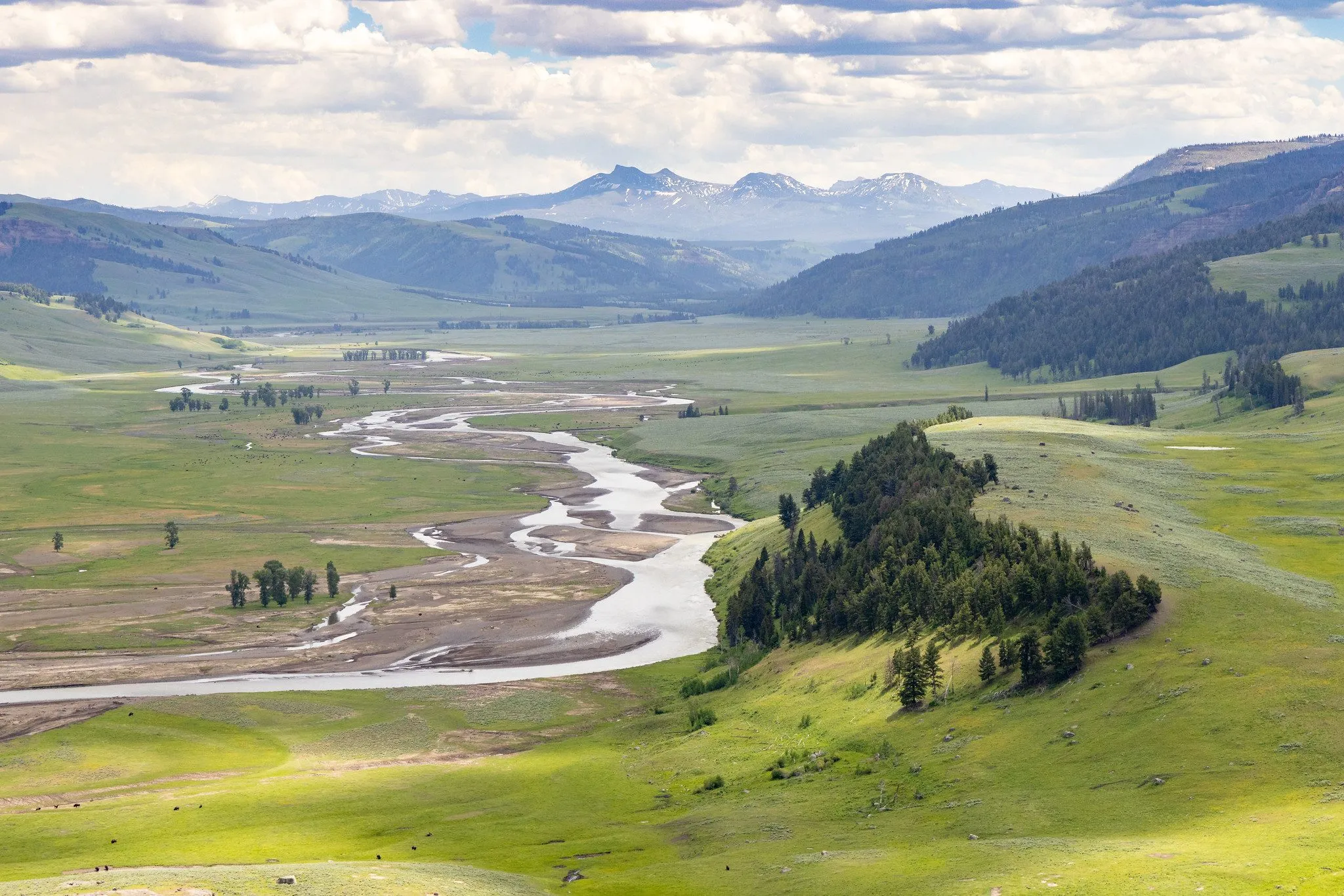
Hydrology & water resources
Rainfall–runoff modelling, frequency analysis, design floods and water balance studies.
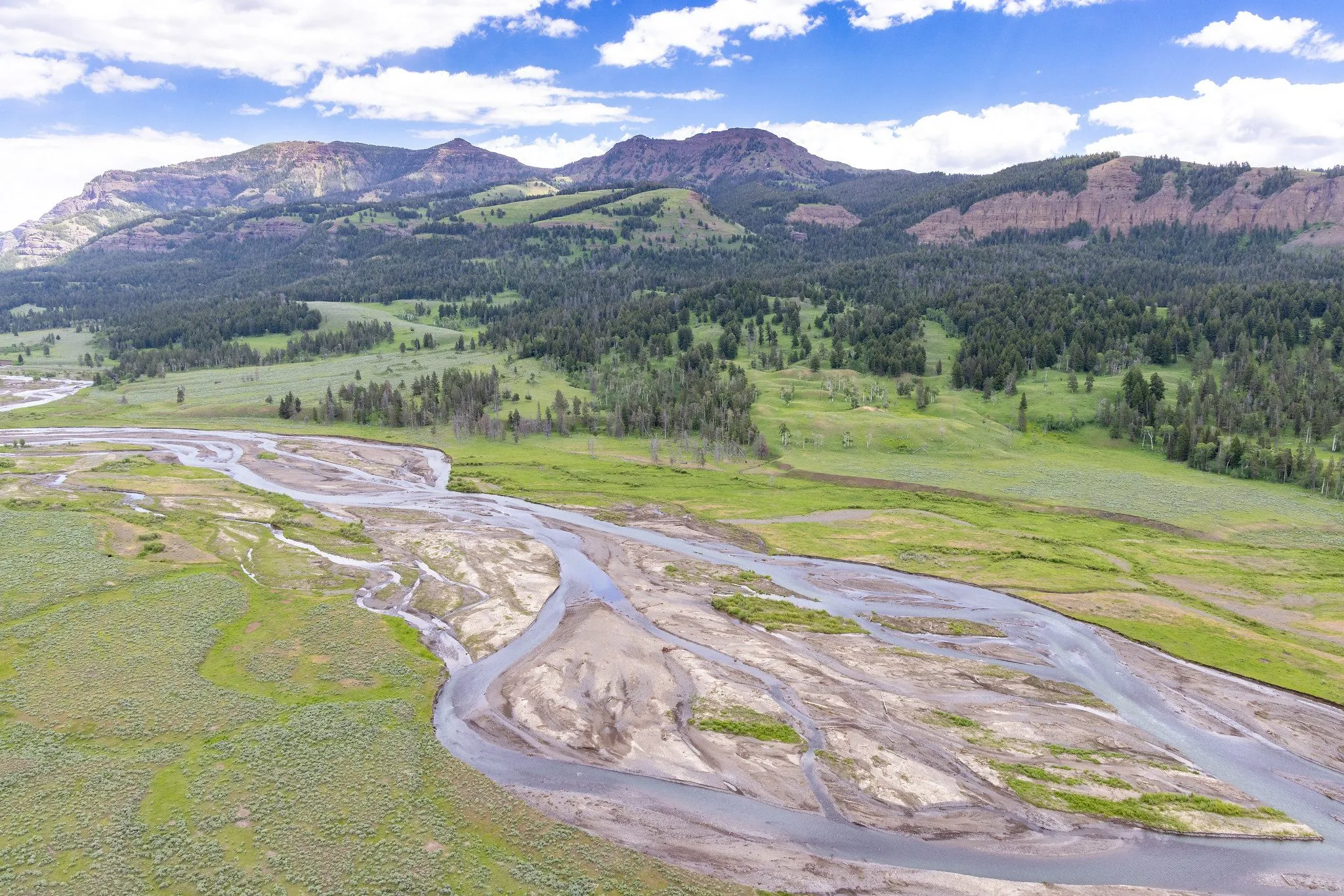
Four connected themes follow water from the sky to the people who depend on it, and to the losses when there is too much or too little.
Open a theme to see every publication, project, dataset and tool on it.
Rainfall–runoff modelling, frequency analysis, design floods and water balance studies.
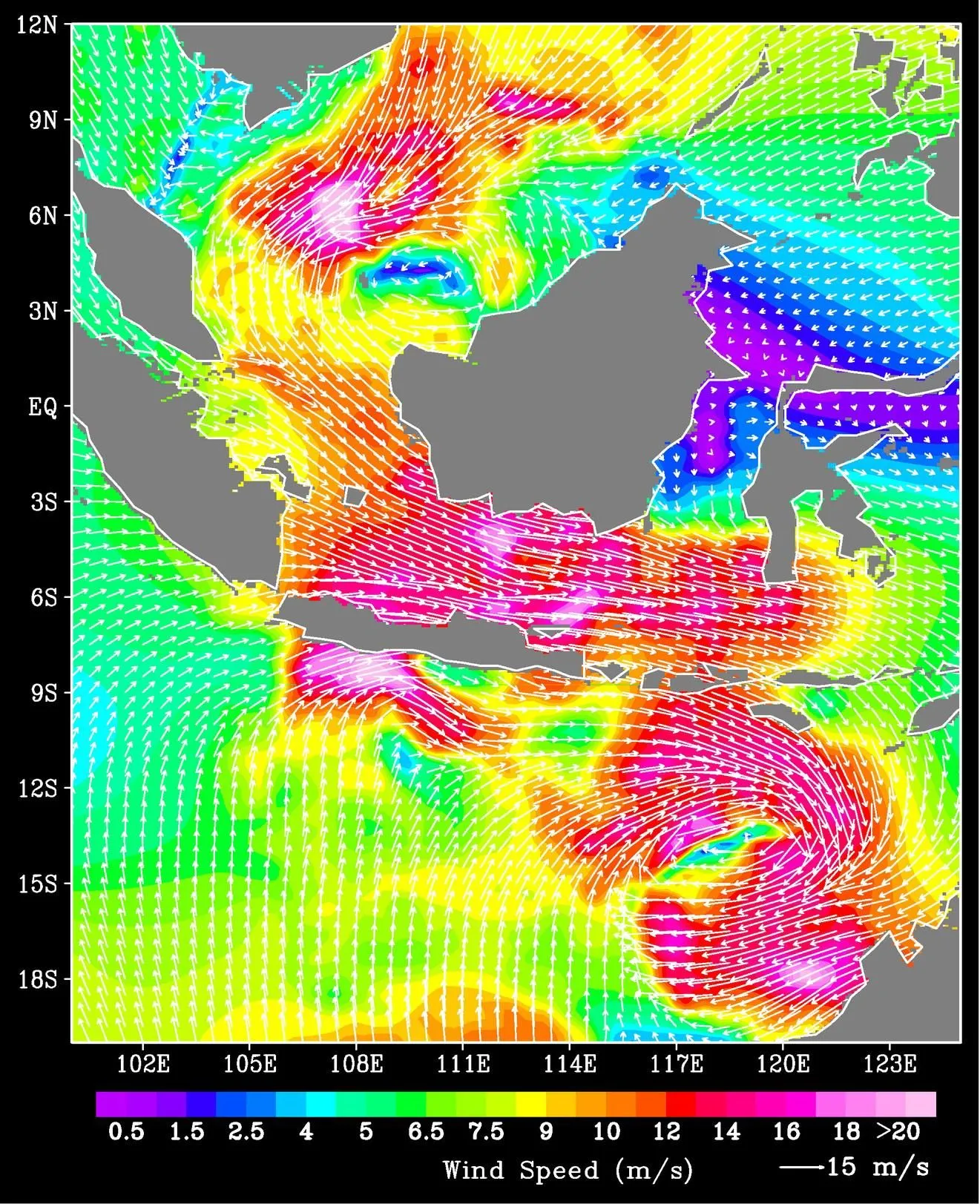
Remote sensing, spatial data processing and machine learning for hydrology.
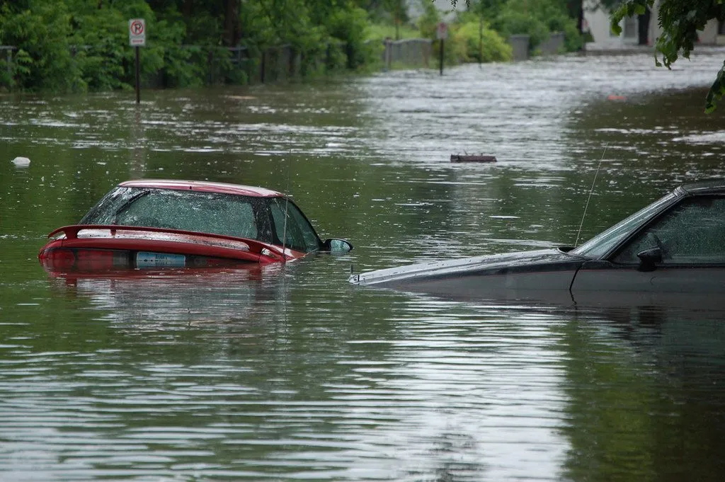
Flood and drought impacts on people and agriculture, from global to local scale.
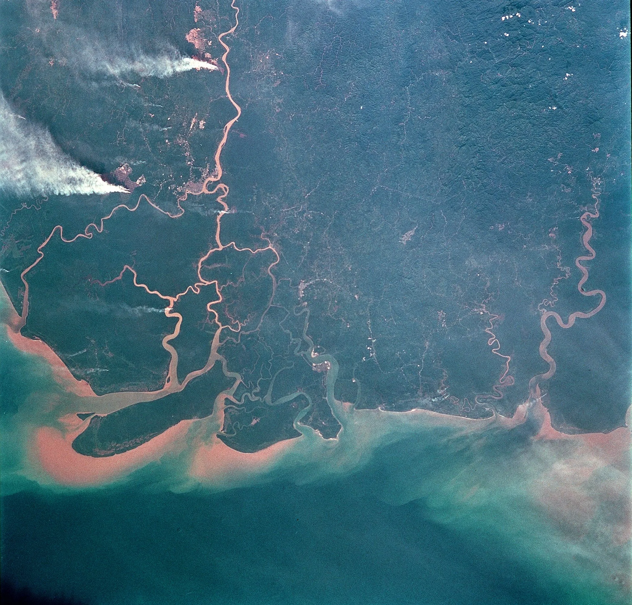
Satellite rainfall products, spatio-temporal analysis and mapping.
 active
Collecting, checking and opening up gauge and satellite rainfall records so that design floods and early warning in Indonesian basins rest on usable data.
 active
Projected rainfall and temperature extremes over Java, the most populous island of Indonesia, and what they mean for rice-growing regions.
 We are recruiting
Curious about floods, rain or water for food? Bring the question. We will bring the data, the tools and a team that has your back.